|
|
|
|

|
|
|
|
Winter Park / Mary Jane ski area. Berthoud Pass in the background |
|
|
|
|
|
|
|
|

|
|
|
|
Just west of the continental divide, about 25 miles west of Denver, looking southwest towards the Gore Range |
|
|
|
|
|
|
|
|

|
|
|
|
Same position, looking more towards the west |
|
|
|
|
|
|
|
|
|

|
|
|
|
The northern tip of the Gore Range, as viewed from the east. |
|
|
|
|
|
|
|
|

|
|
|
|
Almost to the Gore Range, looking south. |
|
|
|
|
|
|
|
|

|
|
|
|
Mt. Powell, the northernmost tip of the Gore Range, just east of Vail. |
|
|
|
|
|
|
|
|
|

|
|
|
|
Looking south along the Gore Range. |
|
|
|
|
|
|
|
|
|
|
|
|

|
|
|
|
Past Mt. Powell to the west, looking south along the Gore Range. |
|
|
|
|
|
|
|
|

|
|
|
|
Town and ski area of Vail. Leadville and Quandry Peak in the distance. |
|
|
|
|
|
|
|
|
|
 in the background.")
|
|
|
|
Beaver Creek ski area. Mount of the Holy Cross (14,007ft.) in the background. |
|
|
|
|
|
|
|
|
")
|
|
|
|
Copper Mountain ski area, Quandry Peak in the background (14,226 ft.) |
|
|
|
|
|
|
|
|
")
|
|
|
|
Copper Mountain ski area, Quandry Peak in the background (14,226 ft.) |
|
|
|
|
|
|
|
|
|

|
|
|
|
Looking south from Copper Mountain along the Ten Mile Range |
|
|
|
|
|
|
|
|
, Arapaho Peak (13,502), and Corona/Rollins Pass (11,671)")
|
|
|
|
The continental divide, just west of Denver as seen from the west. Longs Peak (14,255), Arapaho Peak (13,502), and Corona/Rollins Pass (11,671) |
|
|
|
|
|
|
|
|

|
|
|
|
Looking back to the west towards the Gore Range at sunset from Corona Pass. |
|
|
|
|
|
|
|
|
|

|
|
|
|
Looking back to the west towards the Gore Range at sunset from Corona Pass. |
|
|
|
|
|
|
|
|

|
|
|
|
Over Corona Pass, looking to the north. Arapaho Peak, Arapaho pass and Longs Peak in the distance. |
|
|
|
|
|
|
|
|

|
|
|
|
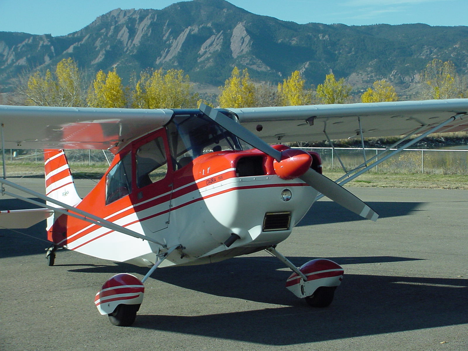
The Flatirons above Boulder, looking northwest from above El Dorado Canyon |
|
|
|
|
|
|
|
|
|

|
|
|
|
The Flatirons above Boulder after a night of snow, looking northwest with clouds and Longs Peak in the background. |
|
|
|
|
|
|
|
|
|


 in the background.")
")
")

, Arapaho Peak (13,502), and Corona/Rollins Pass (11,671)")


